Polar Vortex Could Bring “Severe Winter Weather” to the U.S.—Here’s When
Antonio Guillem / Shutterstock
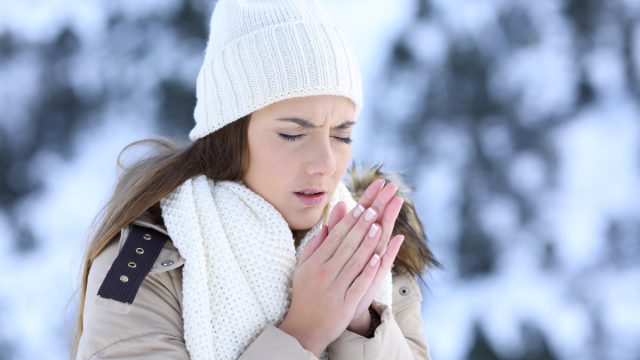
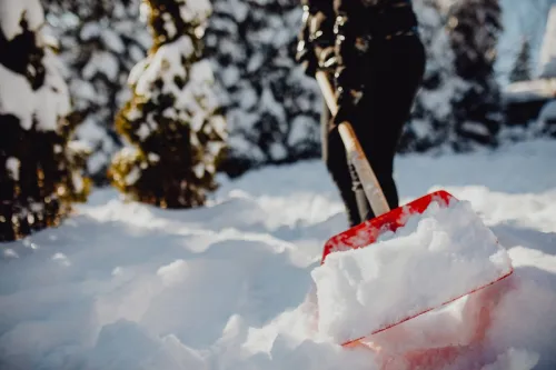
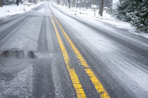
This January has delivered some wacky weather, with storms and fluctuating temperatures leaving us guessing with the forecast each week. Following a freezing arctic blast , much of the U.S. is soon getting a bit of a reprieve with warmer days ahead. But we’re in for yet another rude awakening thanks to some activity with the polar vortex , which could potentially introduce “severe winter weather.” Read on to find out when temperatures might plummet again.
RELATED: Flash Flood Warnings This Week as 6+ Inches of Rain Predicted in These Regions .
Losgala / Shutterstock
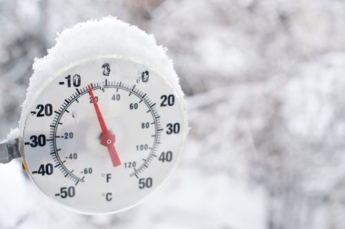
According to the National Weather Service (NWS), the polar vortex “is a large area of low pressure and cold air surrounding both of the Earth’s poles .” The “vortex” refers to the counter-clockwise flow of air that keeps the colder air near the poles, but during the winter, the vortex can be disrupted and send cold air into the Northern Hemisphere, resulting in “large outbreaks of Arctic air.”
The NWS notes that not all cold weather comes from the polar vortex, and the wind pattern itself isn’t a danger. However, we do need to know how far temperatures will drop when this happens, especially in areas that don’t typically get that cold.
It’s not uncommon for circumstances to weaken the vortex, also distorting the jet stream and leading to a cold air outbreak. But now, experts say there’s been some unusual activity with the stratospheric polar vortex.
RELATED: Weather Predictions Keep Changing—What the Unpredictable Shifts Mean for You .
iStock
In a blog post on Climate.gov, experts explained that there was a minor disruption of the stratospheric polar vortex that slowed the spin. It wasn’t major enough to change the direction the vortex was spinning in (from counter-clockwise to clockwise), but there was an unusual disruption on the lower levels of the stratosphere. This could have contributed to the cold air that hit the U.S. last week.
“It appears as though the minor [vortex] warming during the first week of January and the subsequent destruction of the polar vortex in the lower stratosphere were enough to at least help set the stage for the cold air outbreak over North America this past weekend,” Climate.gov wrote.
But moving forward, this disruption of the lower levels of the stratosphere could eventually lead to a disturbance of the winds above it, and consequently bring more frigid air to the U.S.
RELATED: How New “Extreme” Thunderstorms and Wind Are Increasing—And Affecting Where You Live .
Shutterstock / Nazarova Mariia
According to the Climate.gov blog post, we’ll have to wait and see exactly how the disruption will impact us over the next few weeks.
A collapse of the polar vortex takes time—and it wouldn’t immediately affect the weather here in the U.S., The Washington Post reports. On the flip side, experts at Climate.gov note in the blog post that the breakdown of the vortex itself is expected to be brief, and it will then “cease its shenanigans and strengthen gain back to its normal speed.”
As Brad Pugh , a forecaster at the National Oceanic and Atmospheric Administration (NOAA) Climate Prediction Center, told WaPo , “the [disruption] is expected to be short lived (a couple of days) and winds [in the vortex] will strengthen again toward the end of January.”
iStock
We do know that milder temperatures are in store for the next week or so, followed by a cloudier forecast, per WaPo .
However, Climate.gov says there’s a “slightly higher” risk of more cold air outbreaks—and if we’re going to see more wintry weather as a result of the polar vortex, it’s likely to settle in next month.
As Judah Cohen , atmospheric scientist and specialist in long-range weather forecasts at Atmospheric and Environmental Research, told WaPo , if the vortex ends up stretching out, “we get episodes of more severe winter weather” in February. If it does end up staying “strong and circular,” then next month will stay mild.
Climate.gov also notes that while the polar vortex could help foster another cold spell, other variables are at play. The ongoing El Niño can affect a cold air outbreak, as does the location of the jet stream in winter. The blog post notes that the jet stream can nudge itself, as opposed to being strictly moved by “climate processes in the tropics or the stratosphere.”
- Source: NWS: What is the Polar Vortex?
- Source: NOAA Climate.gov: The polar vortex is acting up
Powerful “Kitchen Sink” Storm Hitting Next Week—What to Expect in Your Region

Damian Lugowski / Shutterstock
Love it or hate it, it’s winter here in the U.S.—and along with chillier temperatures, you can also expect snow and wintry mixes . This weekend, the eastern part of the country is bracing itself for Winter Storm Ember , which is expected to bring snow, ice, rain, and wind. Travel conditions may be dicey for those in this region on Saturday and Sunday, according to meteorologists with The Weather Channel, but if you’re anticipating being in the clear for the workweek ahead, think again. There’s another storm on the horizon, and this one is expected to bring “ everything but the kitchen sink ” to multiple U.S. regions, The Weather Channel Says.
“A few of us meteorologists at weather.com like to throw around the phrase ‘kitchen sink storm’ when a major system like that one checks the boxes for many hazards at once,” Chris Dolce , meteorologist with weather.com, said in a discussion posted on Weather Underground (part of The Weather Company, which owns The Weather Channel/weather.com).
He continued, “These storms occur in the cooler months of the year when the jet stream is more potent and able to generate strong areas of low pressure that can deliver a wide variety of weather conditions given the collision between milder air from the Gulf of Mexico and colder air seeping south from Canada.”
Meteorologists anticipate that this second storm, dubbed Winter Storm Finn, could actually be a “bigger deal” than Ember, largely because it will have a more widespread impact along the Mississippi River and east of it. Read on to find out what you can expect in your region.
RELATED: Major Winter Storm Hitting This Weekend—How Much Snow You’ll Get in Your Region .
iStock
The Weather Channel notes that it’s still a bit early to predict the details of the storm’s impact across all regions, but it is starting in the West. Those in this region can expect snow and rain, with snow potentially affecting travel in valley and mountain locations, including Salt Lake City and Boise, Idaho, the outlet says.
As weather.com meteorologist Domenica Davis explained in an accompanying forecast video, Finn is following a similar path to Ember, but instead of moving off the West Coast, it is moving north, presenting a “potpourri of weather.”
RELATED: A “Polar Vortex” Is Expected to Hit the U.S. Soon—Here’s What to Know .
iStock
“A stripe of snowfall” and strong winds are expected north of the storm’s path, per The Weather Channel, namely in the Central Plains into the Midwest and the Great Lakes. For those on the warm side of the storm, i.e. to the south, there’s a chance of heavy rain and winds.
Those in central states can expect peak impacts on Monday and Tuesday, potentially moving into Wednesday, The Weather Channel says.
RELATED: 10 Ways to Prepare Your Home for a Snowstorm, According to Experts .
ND700 / Shutterstock
Davis said the South could see strong storms, which are “the biggest concern.” The Weather Channel specifies that these storms are possible near the Gulf Coast during the day on Monday and into the evening.
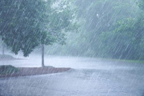
On Tuesday, storms could move into the Southeast, with the possibility for “damaging winds, hail and some tornadoes.” Flooding could also result from the heavy rain expected in this region.
michusa / Shutterstock
The Northeast isn’t getting a break after Winter Storm Ember, according to The Weather Channel. Heavy rainfall is predicted to affect the coast and the Interstate 95 corridor from Boston to Washington, D.C. “Interior areas” of the region are expected to see snowfall or wintry mixes that then turn to rain.
Much like central states, those in the East should expect to face the brunt of the storm on Monday, Tuesday, and potentially Wednesday.
On top of this, Davis pointed out that flooding is a concern for this region as well.
“Especially through parts of the Northeast where you had heavy snow and you see that rain coming in, that could create flooding,” she said in the forecast video.
Regardless of where you live, The Weather Channel stresses that you should pay attention to the latest forecasts, as the storm is likely to change in the coming days.
RELATED: How New “Extreme” Thunderstorms and Wind Are Increasing—And Affecting Where You Live .

bodnar.photo / Shutterstock
In the discussion posted on Weather Underground, senior meteorologist at weather.com Linda Lam noted that there are some parts of the U.S. where weather will be moderate—at least for a little while.
“Much of Texas to the lower Mississippi Valley will have fairly pleasant conditions this weekend,” Lam said. “Dry weather is expected and temperatures will reach into the 50s and 60s. However, rain returns as early as Sunday night and portions of this area will need to be ready for the chance of severe thunderstorms on Monday.”
In the Northeast, Boston will have “milder air” and rain-free skies on Saturday before Ember, with the mid-Atlantic through the Carolinas also getting clear skies on Sunday and no “big-cold” air, weather.com digital meteorologist Jonathan Belles added.
