Second Winter Storm Could Dump Another 8 Inches of Snow on These Regions
mustafahacalaki/iStock
With still over a month to go before spring officially begins, this winter has already shown us its fair share of extreme weather . From flooding rains in the west to bitterly cold temperatures down south, each week appears to be bringing one surprise after another. However, some places may not even have a few days to recover from the last big event after meteorologists warned a second winter storm could dump another eight inches of snow in the coming days. Read on to see which regions will be affected and how much you might see in your area.
RELATED: “Polar Vortex Disruption” Will Send U.S. Temps Plummeting—Here’s When .
iStock
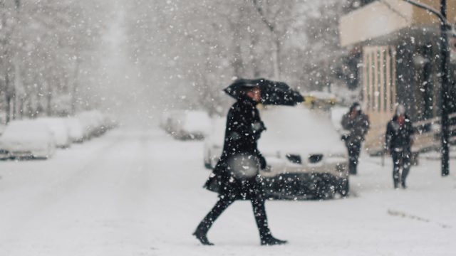
Residents in the Northeast were treated to a pre-Valentine’s Day winter storm on Tuesday. A Nor’easter dumped snow across the region, leading to more than 1,100 flight cancellations and 116,000 people without power, CBS News reports.
A last-minute change in the storm’s trajectory shifted the brunt of the snowfall, with southern New England seeing much less than the foot it was initially expected to receive. In the end, Boston saw a scant 1.5 inches , while southern parts of Massachusetts saw as much as 8.2 inches accumulate by the end of the day, according to a National Weather Service (NWS) bulletin.
Pennsylvania was also spared any overwhelming amounts, with Philadelphia seeing less than two inches over the course of the storm. The heaviest hit was the Poconos and Lehigh Valley, which received more than a foot, per CBS News.
However, New York had decent snow accumulation across different parts of the state. New York City’s Central Park saw 3.2 inches fall, while Coney Island in Brooklyn totaled six inches by the time the storm moved on. Areas just north of the city saw much more, with 11 inches falling in the Hudson Valley.
RELATED: Meteorologists Warn That “Super El Niño” Could Lead to Intense Hurricane Season .

ProfessionalStudioImages/iStock
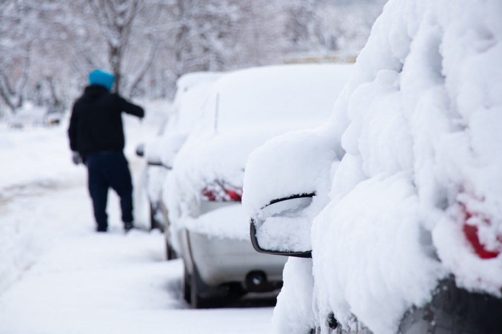
Even if Tuesday’s storm fell somewhat short of initial expectations, residents in many places may not even make it to the weekend before they see fresh snow again. A new weather system is expected to pass through the Midwest this week, bringing more of the white stuff and bitterly cold temperatures along with it as it sweeps across to the East Coast, AccuWeather reports.
Forecasts expect snow to start falling today in the Central Plains states, with the quick-moving system passing through the Midwest and reaching the Northeast by Thursday evening. Temperatures are also expected to drop, with cities including Chicago and Detroit seeing lows sink into the 20s today and tomorrow before plunging into the teens on Friday, per AccuWeather.
RELATED: “Extended Winter” May Keep Things Cold in These Regions, Meteorologists Predict .
Andriy Blokhin / Shutterstock
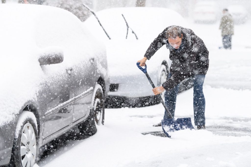
While it’s not expected to bury the region, the latest bout of snow could still bring some shovelable amounts to the Midwest. Omaha, Nebraska, is predicted to see about an inch, while Pierre, South Dakota, could get as much as eight inches during the storm, per Fox Weather.
While cities like Chicago and Indianapolis might only see a scant inch of snow mixed with some rain, parts of Northern Michigan near Marquette could also see anywhere from five inches to a foot of snow fall. Parts of Wisconsin, including Madison and Milwaukee, are expected to get a wintry mix with enough snow that could create slushy conditions on roads throughout today, AccuWeather reports. And Minneapolis—which has been atypically short on snow this winter—might see just shy of two inches.

FatCamera/iStock
By Thursday, the storm is expected to move into the Northeast. But the region’s second go with snow may not affect many of the areas that were the worst hit in Tuesday’s Nor’easter.
Little to no accumulation is expected for Washington, D.C., and New York City, with inland areas in Pennsylvania and New Jersey looking at one to three inches of snow, per Fox Weather. Massachusetts and southern central New York state might expect one to three inches as well, with some areas pushing towards five inches. The worst-hit areas are predicted to be in far northern New York, including Watertown, which could see anywhere from five inches of snow to a foot.
- Source: NWS: Public Information Statement
“Arctic Blast” and Widespread Snow Predicted for Next Month—Here’s Where

ProfessionalStudioImages/iStock
The kickoff to 2024 has served as a reminder of just how severe winter weather can get. From freezing temperatures to devastating flooding , few regions have been spared since January began. But with several weeks to go before spring kicks in, meteorologists have already predicted there could be another “arctic blast” and more widespread snow next month. Read on to see why conditions could get so extreme in February and what regions the weather could affect the most.
RELATED: Polar Vortex Could Bring “Severe Winter Weather” to the U.S.—Here’s When .

iStock
The frigid temperatures that swept across the nation earlier this month were a jolting reminder that winter had arrived. However, the colder-than-usual conditions were actually the result of a weather pattern known as the “polar vortex.”
The term refers to a counterclockwise flow of air that keeps a block of low pressure and cold air at the planet’s poles in place, according to the National Oceanic and Atmospheric Administration’s (NOAA) National Weather Service (NWS). Occasionally, it descends into the continental U.S.—and meteorologists say this explains why so many regions woke up to freezing conditions earlier this month.
“It appears as though the minor [vortex] warming during the first week of January and the subsequent destruction of the polar vortex in the lower stratosphere were enough to at least help set the stage for the cold air outbreak over North America this past weekend,” Climate.gov wrote.
RELATED: Weather Predictions Keep Changing—What the Unpredictable Shifts Mean for You .
iStock
Even as last week’s cold snaps have reversed course into some unseasonably warm weather , it’s unlikely we’ve seen the last arctic blast of the winter . According to a blog post by Judah Cohen , an atmospheric scientist and director of seasonal forecasting at Atmospheric and Environmental Research (AER), the polar vortex is a “rapidly transitioning situation” that will “come down to rinse, lather, repeat.”
Cohen explained his reasoning during an interview with Fox Weather on Jan. 23, where he also outlined how he believes the forecast will play out in the coming weeks. However, the next cold wave might start off with the opposite weather you expect.
“For the first half of January, that polar vortex kind of stumbled and fell foul there, moved south. We had the arctic outbreak,” Cohen told the network. “But now it’s, it’s back together, let’s say, and, it’s a very tight spin, rotation of the polar vortex. All the cold air is receding back towards the North Pole, and we’re going to have a milder end of the month of January.”
RELATED: 7 Ways to Winter-Proof Your Car, According to Experts .

iStock
However, the rising mercury may end up being a red herring for what’s to come.
“We’re probably going to see a record warm, like we had that happen in December,” Cohen told Fox Weather in his near-term prediction. “But I do think then, often when you have these Canadian warmings, the polar vortex then tends to transition into a very large disruption called a sudden stratospheric warming or a stretching event, like a rubber band (pulling cold air south).”
Cohen told the network that these very conditions are what created this month’s frigid conditions, and he believes there’s a “good chance” it will repeat itself next month.
“I think in the time frame of the second week of February and even possibly mid-February a stretched polar vortex is becoming more likely,” he told Fox Weather. “This should help end the very mild pattern in place across North America. The intensity and duration of cold weather associated with the stretched polar vortex is yet to be determined.”

Damian Lugowski / Shutterstock
Dealing with another blast of freezing temperatures may be par for the course as far as winter is concerned. But Cohen also says some regions could see more snow and extreme weather head their way as another variable affects conditions.
Weather forecasts still consider the effects of El Niño in the winter, which describes a patch of warmer-than-average water off the coast of South America. Typically, it generates wetter weather in the West while bringing more mild, less snowy conditions to the East Coast, according to National Geographic . But as the season progresses, the weakening warmth could bring about a drastic change on top of the polar vortex.
“As far as El Niño, I do think that less than strong is better for snow and cold in the East,” Cohen told The Washington Post in an email.
Altogether, Cohen believes those who are hoping for an early start to spring will be disappointed by what’s likely coming. “I don’t think it’s the end of winter,” he told Fox Weather. “I think it’s not a breakdown of the pattern, but I think a relaxing pattern.”
- Source: NWS: What Is the Polar Vortex?
- Source: NOAA Climate.gov: The polar vortex is acting up
